Nick Lipscombe ~ Books

Wellingtons Guns is the long overdue story of the often stormy relationship between Wellington and his Gunners; the frustrations, the challenges, the characters and the achievements of the main protagonists as well as a detailed account of the British artillery of the period. The Peninsular War and the epic Battle at Waterloo spawned five battery honour titles; involved about 12,000 gunner officers, NCOs and rank and file; occupied more than a third of the existing batteries; firmly established the Royal Horse Artillery in the armys organisation; provided the perfect proving ground for Shrapnels shell - culminating in the danger-close missions to clear the woods in front of the farm at Hougoumont; shaped tactics for the use of mountain guns during the Pyrenean campaign; witnessed the first example of creeping barrage at the siege of San Sebastian; capitalised on the manoeuvrability offered by Congreve seniors block trail and provided a less successful stage for Congreve juniors new rockets. What a canvas!
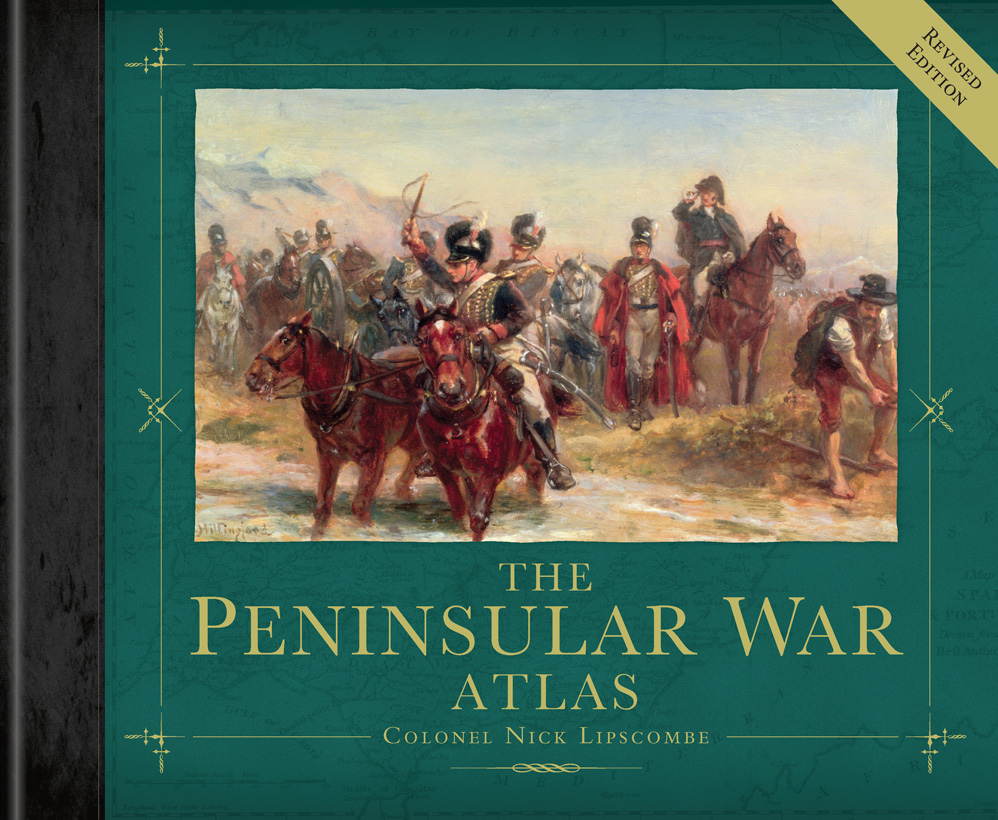
The award winning Peninsular War Atlas took ten years to research and compile. It was Nicks first book and has been an instant success. Painstaking research of existing and new material enabled Nick to draw 161 new maps depicting the strategic, operational and tactical aspects of the entire war. Facing each map is a narrative which enables the reader to comprehend every event in detail and to follow these events as they unfold. In addition, the maps depict the forces down to battalion and in some cases company level as well as artillery and naval description and portrayal. With a foreword by the current Duke of Wellington and an introduction by Professor Charles Esdaile, this 384-page, slip-cased book is an essential addition to the library of any serious student of the Napoleonic Wars. The first print run ran out in 2012 and this is the long awaited new and revised edition which coincides with the final commemorations of the War and includes four new maps (including Maya and Tarbes) and four new map inserts (including Pombal, Foz de Arouce and Ordal). It was selected by Andrew Roberts as his Daily Telegraph (history) Book of the Year in 2010.
The Award Winning
Peninsular War Atlas - Revised Edition ~ OSPREY Publishing 2010
Peninsular War Atlas - Revised Edition ~ OSPREY Publishing 2010
Wellington's Guns ~ OSPREY Publishing 2013
The scale of the defeat on the French at the Battle of Vitoria had changed the political landscape in Europe. A Napoleonic victory at Dresden on the 27th August had been offset by the defeat of Macdonald by Blücher at Kätzbach on the 26th and Vandammes surrender at Kulm on the 30th. Wellington judged the time right and circumstance ready; the hitherto almost unthinkable invasion of France was on. This book looks at that invasion from the audacious crossing of the Bidassoa River in October through the battles of Nivelle, Nive and St. Pierre south of Bayonne in the last few months of 1813 and the New Year offensive in 1814 culminating at the Battle of Toulouse in April.
Bayonne & Toulouse 1813-14 Wellington Invades France ~
OSPREY Publishing 2014
OSPREY Publishing 2014
Waterloo - The Decisive Victory, which Nick edited, has a foreword by His Grace the Duke of Wellington, an introduction by Peter Snow and contributions from ten internationally renowned historians (including Jeremy Black, Charles Esdaile, Philip Haythornthwaite, Andrew Field, Mark Adkin, Natalia Griffon de Pleineville, Hew Davies, Julian Spilsbury, Ian Fletcher and Nick Lipscombe). Published to coincide with the Bicentenary of the Battle of Waterloo, this lavishly illustrated volume looks at all the different aspects of the 100-day campaign which has become synonymous with the Napoleonic Wars and examines the Battle covering discreet topics in minute detail. The official publication of the Waterloo 200 organization, slip cased and highly collectible, Waterloo - The Decisive Victory offers a unique and authoritative history of one of the most important battles in world history.
Waterloo - The Decisive Victory ~ OSPREY Publishing 2014

Nick's study of the epic struggle on Spains eastern front during the Peninsular War. Often overlooked as not an integral part of the Duke of Wellingtons main army operating on the Portuguese border and in western and northern Spain but, in point of fact, the two fronts were intrinsically linked. To the Spanish, the east coast was a matter of national survival; the ports of Tarragona, Valencia, Alicante and Cartagena sustained the nation, fed the people and the Spanish military machine. To the French, failure to gain early control of the east coast was cited by Napoleon as one of the principal reasons for the defeat of the Grande Armée and the loss of the War. To the British, the east coast was a necessary and cost effective distraction but, by 1812, it had become an integral component to Wellingtons plans and, in the end, it held the key to the successful invasion of France.
Wellington's Eastern Front ~ Pen & Sword 2016

"This superb work provides a visually stunning guide to Britain's civil wars from the opening Bishops' War to the rule of Cromwell's major generals. Based on the latest historical and archaeological research, the 156 detailed maps show not only the better known large battles and sieges, but also numerous smaller engagements and key political events. Essential for comprehending the full extent of the war and for understanding it conduct and outcome." --Professor Peter Wilson, Chichele Professor of the History of War, University of Oxford
"There has long been a need for a good atlas of the English Civil War, and Nick Lipscombe, who has already fully met the need for one for the Peninsular War, now does so again. Effective and clear maps are ably combined with a text that reflects Lipscombe's understanding of weapons characteristics, the complexity of battle, and the nuances of command. An important work that deserves wide attention." --Professor Jeremy Black, author of World War Two in 100 Maps
"Nick Lipscombe's The English Civil War is a joy to behold a thing of beauty, but much more than that book is clearly of no small importance. I am convinced that this will be the first port of call for all enthusiasts and scholars looking for a cartographic interpretation of the civil wars. This will be the civil war atlas against which all others will judged and the battle maps in particular will quickly become the benchmark for all future civil war maps." --Professor Martyn Bennett, Department of History, Languages and Global Studies, Nottingham Trent University
"Without doubt one of the most foremost reference sources on the Civil Wars available today." --Tim Williamson, History of War
An absolutely essential volume for anyone interested in the period. - Duncan Evans, The Armourer
The English Civil Wars (1638-51) comprised the deadliest conflict ever fought on British soil, in which brother took up arms against brother, father fought against son, and towns, cities and villages fortified themselves in the cause of Royalists or Parliamentarians. Although much historical attention has focused on the events in England and the key battles of Edgehill, Marston Moor and Naseby, this was a conflict that engulfed the entirety of the Three Kingdoms and led to a trial and execution that profoundly shaped the British monarchy and Parliament.
This beautifully presented atlas tells the whole story of Britain's revolutionary civil war, from the earliest skirmishes of the Bishops Wars in 1639-40 through to 1651, when Charles II's defeat at Worcester crushed the Royalist cause, leading toa decade of Stuart exile. Each map is supported by a detailed text, providing a complete explanation of the complex and fluctuating conflict that ultimately meant that the Crown would always be answerable to Parliament.
This beautifully presented atlas tells the whole story of Britain's revolutionary civil war, from the earliest skirmishes of the Bishops Wars in 1639-40 through to 1651, when Charles II's defeat at Worcester crushed the Royalist cause, leading toa decade of Stuart exile. Each map is supported by a detailed text, providing a complete explanation of the complex and fluctuating conflict that ultimately meant that the Crown would always be answerable to Parliament.
The English Civil War: An Atlas and Concise History of the Wars of the Three Kingdoms 1639-51